Circuit du Grand Braus - Lucéram - walk - hike
This walk is straight forward and visible from Lucéram for the duration. It is approximately 9km and you climb 835m in total. Lucéram is a pretty town, north up the Paillon valley from L'Escarène on the old “Salt Road” (connecting the salt production areas of the Camargue to Piedmont in now Italy). For part of the way we use the GR510 and that is where the walk starts for us in the centre of Lucéram at sign post 170.
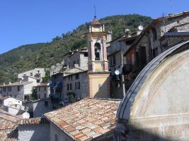
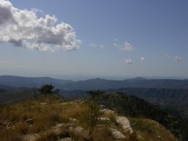
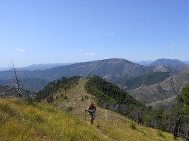
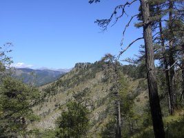
We found it difficult to park in Lucéram, a lot of the car parks were full of vehicles that have been stationary for a while - by the state of them. It was almost like a high water mark for camper vans and Peugeot 204's. That said you are struck immediately by the quaintness of the place, the old town walls and age of the buildings. The first signpost is just off the main road in a square on the left if you are walking down hill. This sends you up into the old town – the signs seem to end there but make your way up the the churches. The path starts again at the end of the street between the two churches. Here you can pick up the GR red and white markers, which take you to the left and then down past some allotments. Keep following the markers across the bridge and up the other side of the small valley.
After zig-zagging up the walk turns away south continually climbing up the side of the valley. The hedgerows are stocked with black berries in September and the cover gradually increases with more trees. At 172 keep in the direction Croix de la Plastra, Grand Braus. Eventually you come out of the trees and the path changes direction to the SE aim for the Col and you come to SP 173, follow the path to the left direction Grand Braus. 500M on you should come to SP 174 the path we want switch backs the direction and climbs steeply to the crest. Follow the path – you are on yellow markers now to Mount Auri. From there you drop to SP 179 and have a short climb to Caire de Braus.
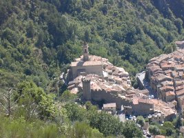
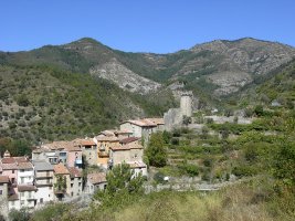
Follow the path through the trees and it then drops below the crest of Grand Braus – it is down hill from here. At SP 53 you meet the D54 road Col de l'Ablé – follow the large track west to SP 180. Here you drop sharply to le Clapou (rock pile) there is actually a ruin of a house here. The path then meanders a bit until SP 183 then your on a straight run to the village. We saw a number of hawks and birds of prey on the top, they were too far away for my limited ornithological skills and camera lens. The town itself warrants more discovery they have some art works in the church, as well as a tradition in Christmas Cribs.
Total height ascended 836 m 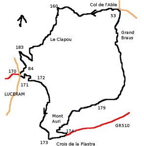
Actual distance 8971.85 m
Minimum height 650 m
Maximum height 1261 m
SP171 East: 32:368453.81 North: 32:4860218.13 Height:670 m SP172 East: 32:368596.63 North: 32:4860166.37 Height:729 m
SP173 East: 32:368727.98 North: 32:4859125.21 Height:978 m
SP174 East: 32:369034.77 North: 32:4859179.00 Height:1014 m SP179 East: 32:369633.46 North: 32:4859677.61 Height:1170 m SP53 East: 32:370042.29 North: 32:4861325.72 Height:1143 m
SP180 East: 32:369081.25 North: 32:4861438.22 Height:1121 m SP183 East: 32:368336.28 North: 32:4860713.24 Height:747 m
SP84 East: 32:368434.87 North: 32:4860466.32 Height:727 m
SP170 East: 32:368329.47 North: 32:4860347.89 Height:660 m
