St Dalmas le Selvage – Col de Gialorgues - walk - hike
This walk is in the Les Guides Randoxygène Haut Pays. It is approx 10km in length and 680m climb so grade 1. To get to St Dalmas le Selvage keep going north from St Etienne de Tinée on the D22205, the walk starts up a narrow rough track of approximately 4km. It is of course possible to start from the village but the track has little cover so do so in times when the sun is not at its peak. If you drive up the track there is place to park amongst the trees where the path forks.
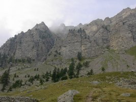
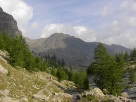
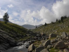
The path starts here in earnest at sign post 73. The path is well defined and climbs up through the trees then crests into a valley. Follow the path and it will meet the river Gialorgues, there is a small rise as you climb a glacial end moraine.
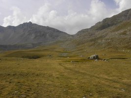
You are then greeted by the flat valley floor – keep to the path that runs up the right hand side of the valley. The path climbs more glacial moraine and goes past the Refuge de Gialorgues. From here you can see the destination, the Col de Gialorgues. From here on in it is a gradual climb, passing a couple of tarns and then a steep climb to the Col.
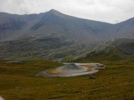
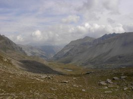
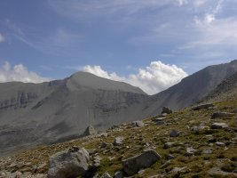
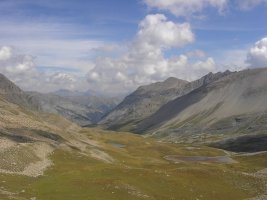
The return route is the reverse of the ascent. The scenery was nothing short of spectacular.
Total height ascended 680 m 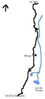
Actual distance 10089.55 m
starting height 1958 m
Maximum height 2518 m
73 East: 32:326240.88 North: 32:4902737.34 Height: 1963 m
Refuge East: 32:325858.30 North: 32:4900434.97 Height: 2277 m
279 East: 32:325081.81 North: 32:4898741.93 Height: 2517 m
