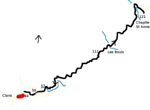
Clans - Chapelle Sainte Anne - walk - hike
This is a straight forward walk up (and down) the Vallon du Monar. The path is a local one from Clans and is well maintained. It is used as a pilgrimage route on the 26th of July each year by people from the area. The walk is approximately 15km long with a climb of around 600m. Clans is a village reached via the Tinée valley, the quickest route there is by the RN202 from the coast. Take the right signposted to Auron and Isola (D2205) and at Pont de Clans take a right signposted Clans. The village is in a hanging valley and approximately 15 mins up a windy road from the valley below.
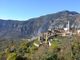
There is a large parking area just before the center of the village and not far from the church. Walk through the village through the square past the church climbing as you go and you will come to sign post number 44. At sign post 44 follow the direction to the Chapelle Sainte Anne, at the cemetery take the left hand fork up the hill (SP 56). Follow the road around the side of the hill, at the first hairpin bend bend there is sign post 57 - here the path leaves the road.
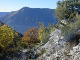
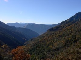
The path at this point is paved with small boulders and starts its climb in earnest. About half way up the first ascent you cross the canal feeding the village, keep climbing. Soon the path levels off and then you contour following the valley side up to its head. The path is wide and dips in and out of each crease in the mountain side, the apex of each tents to be sheltered and fed by a stream so there is more vegetation and shade.
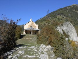
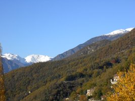
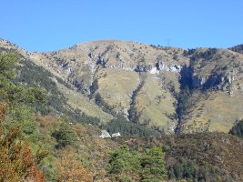
At about halfway up you come to a junction a t sign post 111. Take the left hand fork going up to the Chapelle Sainte Anne. Soon after you enter an area thick with Horse Chestnut trees, the area is called Les Bouis, the path dips down here to cross a stream - keep on. The Chapelle comes into view around the next ridge and the path keeps to a contour. It is only at the last valley the Vallon de l'Ortiguié, the path gets steeper. The path crosses the last stream here and you climb the last valley side to the Chapelle. The way back is the way you came, take the route in reverse back to the village.
Actual distance 15615.63 m
Minimum height 684 m
Maximum height 1259 m
Height climbed 630 m
sp44 East: 32:351771.12 North: 32:4873173.19 Height: 703 m
sp45 East: 32:351911.46 North: 32:4873087.66 Height: 706 m
sp56 East: 32:352084.83 North: 32:4873132.13 Height: 733 m
sp57 East: 32:352468.23 North: 32:4873306.49 Height: 769 m
sp111 East: 32:354437.86 North: 32:4874365.65 Height: 1023 m
sp121 East: 32:356002.38 North: 32:4875694.78 Height: 1244 m

