La Colle de Sigale - walk - hike
This Grade 2 walk, the path is well defined. A path with local markers, approx 10km and 850m climbed. The walk starts at the end of the one way road accessed at the far end of the large car park in Gréollières les Neiges. It takes us over into the valley of the Esteron. Down to the hamlet of Le Pous then Gerbière and back up the valley side under the La Colle de Sigale.
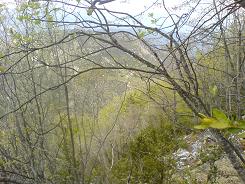
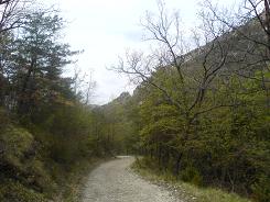
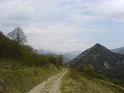
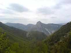
The walk starts off in the trees and soon begins to descend at sign post 213 you turn to the left and hook behind a water treatment plant. Very soon you are at sign post 212, take the right to Le Pous. The path now starts to zig zag down the hill, and you pass though pines to beeches and ash. Eventually you meet the gravel road at sign post 216, take a left, follow the road to the hamlet of Gerbière.
Gerbière is at the head of its own valley planted as an orchard with various fruit trees. From there you have views both east and west into the Esteron. The path stays on the road through the hamlet but almost immediately after is dissected by another. The path we need to follow is on the left climbing steeply from the road. This brings you to a high meadow above the road, now take care as the path forks.
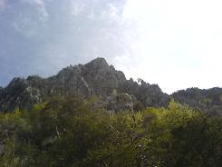
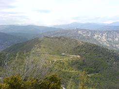
The right hand fork is a not so well used path, and goes straight up the hill. The left hand one has the yellow markers and that one skirts to the left - this one is ours. This path traverses the mountain face under the Colle, climbing as you go. The views on the way down were encumbered by trees, on the way up they are magnificent. Follow this path all the way through the beech trees and back into the pine woods. It meets back up with sign post 212 from there you back track to Gréollières les Neiges.
Total height ascended 851 m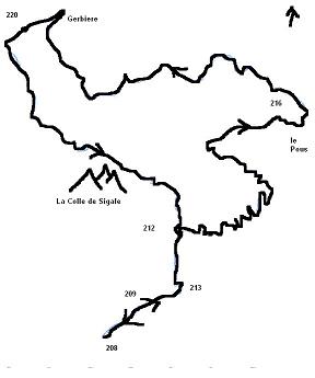
Actual distance 9775.17 m
Minimum height 784 m
Maximum height 1455 m
SP 208 East: 32:337052.07 North: 32:4855193.81 Height: 1442 m
SP 209 East: 32:337309.73 North: 32:4855348.06 Height: 1438 m
SP 213 East: 32:337567.95 North: 32:4855467.78 Height: 1378 m
SP 212 East: 32:337568.35 North: 32:4855802.13 Height: 1337 m
SP 216 East: 32:338419.29 North: 32:4856454.83 Height: 837 m
SP 220 East: 32:336663.32 North: 32:4857098.20 Height: 928 m
