Col de la Cayolle - walk - hike
This walk is listed as “Circuit des Lacs” in the Randoxygène Haut Pays. It is at the head of the the river Var and starts at the pass of the Col de la Cayolle. This pass marks the border of the departments 06 and 04. A small part of the walk is on GR, the GR56B, but most of the walk is on local paths.
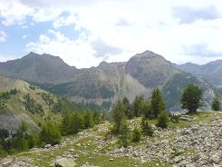
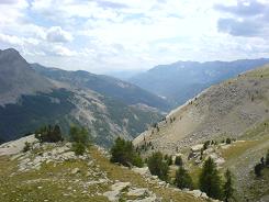
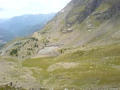
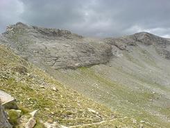
The whole route is well trodden and is possibly the busiest I have ever seen any walk I have done in 06. That said it is an easy walk with a gradual 500m climb and approximately 8km in length. There is a small car park at the pass and the path leads off on the other side of the road. We completed the circular walk in a clockwise direction and were are awarded fantastic views of the valley.
The initial part of the walk is a descent running parallel to the road. You pass sign posts 301 and 294 climbing to the ridge at 296. There are vistas of Lac du Lausson on the way up and we could hear the cries of Marmots but did not see one.
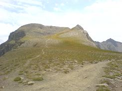
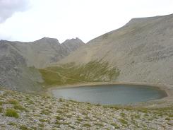
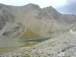
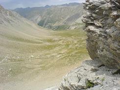
At the ridge we turned north to Lac de Garrets, it was mid August but getting late in the afternoon. Summer storms at this altitude can be common especially in the afternoon and typically a head of cloud was building. From here you contour past Lac de la Petite Cayolle and start the descent at sign post 297.
Still to see a Marmot we descended through a greener landscape and all of a sudden there were dozens of them. They are quite fearless of humans and it was interesting to watch them in their natural habitat. The path was easily navigable all the way and despite the altitude the grade can only be 1.
Flat distance 8456.89 m 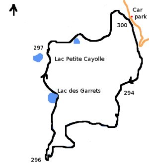
Total height ascended 565 m
Actual distance 8573.78 m
Minimum height 2247 m
Maximum height 2665 m
Trail : Waypoints
300 East: 32:319875.01 North: 32:4903147.18 Height: 2330 m
301 East: 32:320012.06 North: 32:4902452.33 Height: 2261 m
294 East: 32:319615.32 North: 32:4902022.90 Height: 2319 m
296 East: 32:318236.21 North: 32:4900962.65 Height: 2597 m
297 East: 32:318401.30 North: 32:4902731.53 Height: 2636 m
