Caussols - St-Lambert to Col du Clapier - walk - hike
Easter Sunday - a short walk 8 and a ¼ km Grade 1 height climbed 230m approx 2 hours. The walk begins from the car park opposite the Auberge du Caussols (Good food with a focus on local game - update! used to be). The easiest way there from the coast is via Pre du Lac and Gourdon, Grasse can be a bit of a bottle neck.
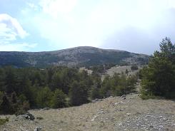
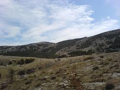

From the car park follow the road west for about ½ a km until you come to sign post 121 on the left. Follow the track which also serves as a drive to a private house, as you approach the property the walk veers right. The path is a local one so follow the yellow markers. There are a number of properties dotted amongst the trees and the path turns into a metallic road. Eventually you come to a T junction the path goes straight on look slightly to the left as it shares a drive to a house, and turns right just before the garage. From here the Col du Clapier is in easy view, the track is easy to follow and joins another metallic road. Aim for the garish yellow house in the trees, as you come to the gates the path veers to the left.
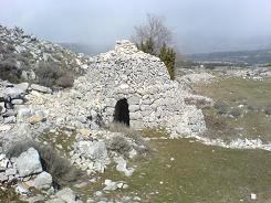
Here the path takes the form of an ancient highway, like a roman road and starts to climb the hill. The path meets with the GR4 at sign post 123, turn right up to the Col left back to St-Lambert via GR4. The Col has the remains of a ruin and what I believe is a "Borie" a dry stone hut. From the top of the Col the views to the coast are tremendous. You are made very aware by the owners of the Chateau de la Malle that they really do not want you on their land and they remind you every 10 m or so.
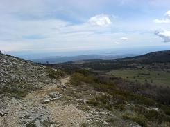
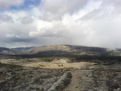
The GR4 obviously runs through their land - so stick to the path if you are going to follow the GR4 to Grasse. For this walk we turn back on the GR4 and retrace our steps to sign post 123 and then continue on the GR4 to St-Lambert. The GR4 has the standard GR markers of red and white splashes and the descent is simple and it soon becomes a metallic road. The metallic road meets a cross road (sign post 124), go straight across and follow the road back to the car park.
Total height ascended 234 m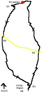
Actual distance 8238.36 m
Minimum height 1094 m
Maximum height 1262 m
CP East: 32:330988.37 North: 32:4845360.06 Height: 1097 m
121 East: 32:330411.87 North: 32:4845257.91 Height: 1119 m
122 East: 32:329955.80 North: 32:4843931.81 Height: 1135 m
123 East: 32:330810.67 North: 32:4842368.10 Height: 1235 m
126 East: 32:330757.62 North: 32:4842133.11 Height: 1261 m
124 East: 32:331251.46 North: 32:4843444.88 Height: 1131 m
