Mont Razet, Col de Castillon
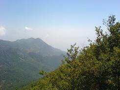
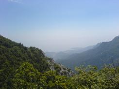
This walk starts from the car park on Col de Castillon. It is 8.2 km with a total height ascended of 720 m the paths are well marked and easy to follow so a walk grade of 1. The scenery from the car park is dramatic with views of Menton on the coast, slightly to the west WW II entrenchments. The walk starts off from the car park along a minor road heading north in between some houses, it keeps to the road for a while then splits off to the left (look out for the yellow marker. This takes you behind some houses then you re-join the road later on. There is a fork in the path the left hand is our return route we took the right which is arguably a steeper climb, the ascent and descent are on the same side of the mountain. The path runs along a road that services houses and gradually peeters out to a footpath.
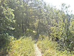
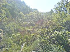
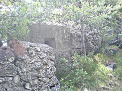
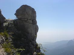
This runs through wooded glades and gradually rises - as the path starts to switch back it gets steeper. Fortunately you stay under trees and shade with great views to the coast. At sign post 93 take a right, the path levels out and you walk past many WW II entrenchments dug into the mountain, this takes you to La Pierre Pointue. The path turns sharp left here following the side of the mountain, you need to get on the ridge if you want to go to the summit.
The easiest way is just after the last pill box - take a left up - then the path becomes evident again. This takes you up onto the summit - there is a trig point. The return route is the way you came back to the pill box and signpost 93 - this time going straight on and eventually you will come to sign post 92 marked Baisse de Scuvion keep on straight. From there on it follows the side of the mountain and then descends through the trees back to the fork.
Flat distance 8070.89 m 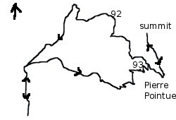
Total height ascended 743 m
Actual distance 8292.16 m
Total height descended 742 m
Minimum height 727 m
Height difference 0 m
Maximum height 1266 m
Trail : Waypoints
start East: 32:376259.90 North: 32:4855173.42 Height: 727 m
SP93 East: 32:377744.81 North: 32:4855679.72 Height: 1152 m
PointP East: 32:377904.86 North: 32:4855501.89 Height: 1161 m
summit East: 32:377762.39 North: 32:4856046.80 Height: 1266 m
SP92 East: 32:377344.33 North: 32:4856278.12 Height: 1149 m
split East: 32:376274.77 North: 32:4855760.79 Height: 766 m
