Plateau St Barnabé
Well New Years day and we thought we would stretch the legs a bit. To continue on the GR51 from the Plan des Noves the route takes you down the vallon du Malvan and then up to the Plateau de St-Barnabé. For this walk we follow the GR51 to the Plateau from there on in there is a local track taking you back to the D2.
This walk is not that exceptionally difficult just bit of a slog, 16 km and takes about 4 hours. We start the walk at the car park on the way up to the Col de Vence marker 66 on the GR51. We take the path on the other side of the road and up to sign post 67 - the path goes straight on. The path is marked with the GR red and white markers and has been diverted but essentially takes the same route to the floor of the Combe de Barbe which is the upper levels of the vallon du Malvan.
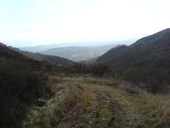
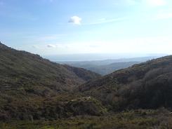
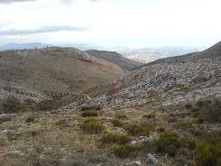
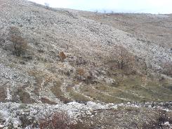
The area has been burnt clear of undergrowth recently and has exposed some magnificent terracing. You follow the path down in to the valley (to a good spot to pick blackberries from all accounts) then the GR51 takes a right and keep right at the next junction. This takes you up to the Combe de Maigre and up past some more terraces and a couple of wrecked cars in ravines - who ever got them there must of tried really hard!. Keep climbing up the Combe the track is wide and takes you via a few switch backs to the top and the start of the Plateau de St-Barnabé. The path takes you into some pleasant oak wood, and winds along until you meet the road to St Barnbé.
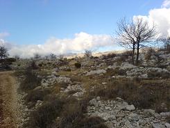
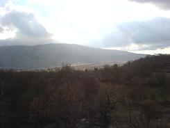
The GR51 follows this road until the village there it splits off towards Courmes we are carrying on along the road which turns into a dirt track. Where the dirt track get to sign post 155 we take a right up another track this is marked on the IGN map as an "other" minor road and has local path markers (yellow flashes). This switch backs up the hill under a few electrical pylons then rewards you with a view of the valley to the north and the village of Coursegoules. Follow the main track down past the trees on your right which is met by a path from Coursegoules keep right and stay on the path. This path will eventually bring you into oak wood and sign post 142, the peanut brained vandals have been here but just stay on the same course and this will take you back to the D2. From there on in it is a yomp along the road for a couple of km then you join the path on the right hand side after the house. Use the path to cut the corner of the road then drop down to sign post 67, take a left and your on you are way back to the car park.
Flat distance 16190.63 m 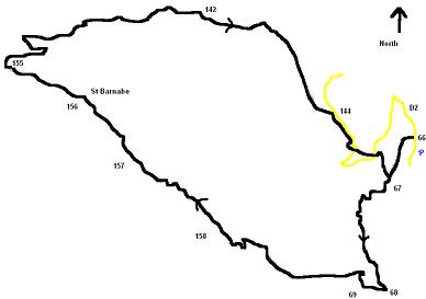
Total height ascended 740
Actual distance 16303.05 m
Total height descended 746 m
Minimum height 612 m
Maximum height 1121 m
Trail : Waypoints
68 East: 32:345463.40 North: 32:4845019.51 Height: 632 m
69 East: 32:345267.03 North: 32:4845049.20 Height: 615 m
158 East: 32:343473.61 North: 32:4846034.52 Height: 974 m
156 East: 32:342107.71 North: 32:4847613.78 Height: 972 m
155 East: 32:341208.20 North: 32:4848033.76 Height: 1024 m
142 East: 32:343567.23 North: 32:4848499.19 Height: 1019 m
143 East: 32:344599.45 North: 32:4848001.80 Height: 927 m
55 East: 32:345159.06 North: 32:4846768.42 Height: 936 m
56 East: 32:345329.07 North: 32:4846661.38 Height: 905 m
66 East: 32:345674.55 North: 32:4846354.06 Height: 827 m
Co-ordinates system : UTM (Zones 30,31,32), WGS84
