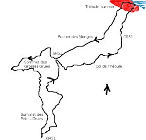
Théoule-sur-mer - Créte des Grues - walk - hike
This walk takes you up into the Estérel behind Théoule-sur-mer. It is a version of “Créte des Grues” in the Rando Pays Côtier, Grade 1, 13km total climb 890m. The advantage of this area is its proximity to the coast, the flip side is that it just means it can be very busy. Théoule-sur-mer is on the coast road from Cannes to Frejus. There are a number of car parks on the sea front of Théoule-sur-mer, the walk starts from along the sea front. Walk along the seafront in the direction of Cannes past the marina until the public toilets.
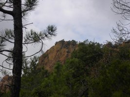
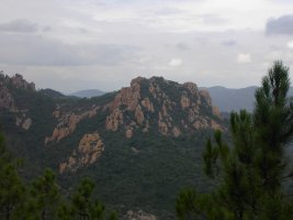
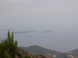
At the public toilets turn left, this take you through a tunnel under the road and railway. The tunnel opens out onto a road follow it up to a T junction take the left direction “Rocher des Monges”. You are on a local path and the markers are yellow. The path snakes up the mountain side past some houses and then divides – take the middle narrower path. This climbs and then levels out so you contour the "Rocher des Monges" passing them on the left.
A forest track that passes the "Rocher des Monges" on the other side meets the path on the right - go straight on in a west south westerly direction. The GR51 bisects the path, take the right hand fork of the GR51. The markers now change from yellow the the red and white flashes of the GR's. The path is a wide forest track and you contour until “Col de la Cadiére”. At “Col de la Cadiére” the path almost double backs on itself on the left and you start the climb to the “Créte des Grues”.
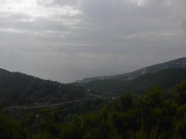
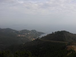
The climb is steep and zig zags up the slope, also there are stone pillars every so often which act as markers. At the “Sommet des Grosses Grues” there is a big antennae go past it for the route to the “Sommet des Petites Grues”. The views are better from here for a lunch spot. From here you pass the “Créte des Petits Trayas” and drop down to the car park at “Col Notre Dame”. From there take a left and work your way back towards the original split in the path with the GR51. Where the path meets the GR51 take the right fork it leads you back to Théoule. Keep on the GR51 through the “Col de Théoule” on to the coast.
Trail
Total height ascended 884 m
Actual distance 13110.11 m
Maximum height 436 m
Trail: Waypoints
split East: 32:331570.62 North: 32:4818096.45 Height: 230 m
GGrues East: 32:331185.16 North: 32:4817797.80 Height: 428 m
PGrues East: 32:331186.80 North: 32:4817055.41 Height: 397 m
NDame East: 32:331095.44 North: 32:4816342.00 Height: 324 m
theol East: 32:332469.18 North: 32:4817936.60 Height: 103 m

