Canaux - walk - hike
Lovely walk, 10.5 km height climbed 580m a Grade 1-2. Canaux is a village on a local road off the D5 from St Vallier de Thiey to Thorenc Ski Station. This quiet village is at the head of the valley Moulinière and an ideal spot to park as the walk continues up the road through the village.
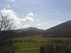
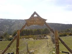
The road turns to a dirt road but keep on it for approximately 2 km, the path is on the left through a gate marked "Le Thiey Sentier Pivoines". For a point of reference the dirt road does go under some electricity pylons, if you pass under them you have gone too far. The gate opens into an enclosed field which you cross to a sister gate on the other side. The path is a local path and has the tell tale yellow markers. It also shows evidence of an ancient highway with its border stones.
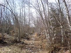
The path enters a forest of ash and birch and in places carpeted in crocus (spring time end of March). The path climbs through the forest and swings east (to the left) and continues in a south easterly direction as you leave the trees. The path is still marked but now with small cairns and leads to another gate in the middle of the slope.
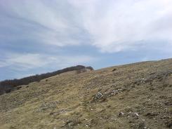
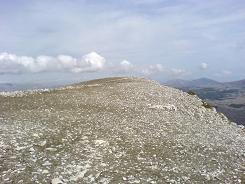
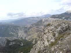
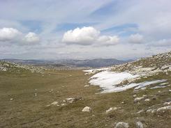
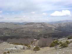
From there on in it climbs more steeply up to the peak ridge, from there follow ridge to the summit. The actual summit is a bit confusing as there are repeated mounds each with a cairn, but the one we are looking for has a trig point on it. The views from along the ridge are panoramic and breath taking. On the map the summit is marked as 1553m and a "Point de vue" , from here on in keep your eyes peeled for the descent, there are no sign posts or obvious markers.
The path is well used so easily determined when looked for along the edge. It is in a dip between two mounds - both with cairns. As soon as you are on the path there are a surplus of yellow markers - one is a plastic sign screwed into the rock. All I can say is they must have a hell of an extension lead for the "Black and Decker". The path takes a few sharp zig zags which open out into broad sweeps.
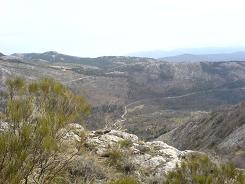
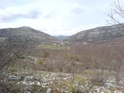
Keep going until sign post 71, take a left on the forest road follow it until a sharp bend and continue around for about 200 m. Here you should see sign post 70 amongst others, follow it to Canaux. The path is still like a forest road until sign post 69, here you leave the broad track for a path again. The path now contours around the side of the mountain, over shale and rough ground until you come back down into the trees. From there on in it is a straight run along the valley floor back up to the village.
Total height ascended 558 m 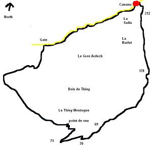
Actual distance 10563.82 m
Minimum height 1067 m
Maximum height 1546 m
Trail : Waypoints
Sentier de Pivoines East: 32:325936.67 North: 32:4846002.11 Height: 1180 m
Point de vue East: 32:326213.67 North: 32:4844303.17 Height: 1541 m
SP 71 East: 32:326079.30 North: 32:4843964.39 Height: 1397 m
SP 70 East: 32:326505.45 North: 32:4843987.12 Height: 1340 m
SP 69 East: 32:326945.67 North: 32:4844178.37 Height: 1292 m
SP 178 East: 32:328014.08 North: 32:4845033.04 Height: 1102 m
SP 212 East: 32:328044.29 North: 32:4846600.25 Height: 1072 m
