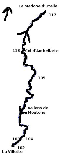
la Madone d'Utelle - walk - hike
This walk is situated at the start of the Vésubie valley. Drive north up the N202 take the D2565 a junction off a roundabout – direction St Martin Vésubie. About 3 km up that road there is a sign post on the left to le Cros d'Utelle. The road is marked as a dead end and is narrow with passing places. Keep going up that road to la Villette. There is very little parking be warned but there is an area 1km before the road ends – be considerate and don't park in passing places. The walk itself is very straight forward, the paths well trodden, sign posted and marked with the customary yellow markers.
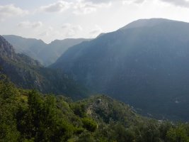
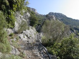
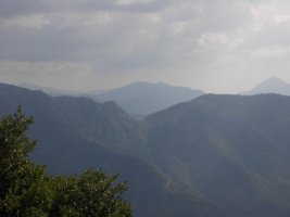
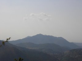
Walk into the village of la Villette and the first sign post 102 is on your right hand side. This takes you up a chained off private road and past some houses. The path is on the right and passes in front of the houses. Here you will come to sign post 103, take a right. The path is very well defined and is easy to follow and climbs gradually in a North Westerly direction up the side of the mountain. The scenery is spectacular, the walk starts at an altitude approximately 620m as a result the vistas are grand from the beginning. Levens is visible due south with unmistakeable plateau, Rocca Sparvirèa and Duranus to the south east.
To the west is Mont Vial and the valley of the Var opening out to the sea South West. Keep to the path and the yellow markers and you will get to sign post 104. There is a cross there and the path we want goes straight on to la Madone d'Utelle. The path takes you around into a valley and be attentive as the path takes a left hand fork climbing more steeply. From there you pass two hunting hides - I am not sure if that is the right term as they are platforms and exposed. The path follows the valley around & then you pass through a divide in the rock. You are now in the Vallon de Moutons and your target is the ridge on the other side. The bath contours then zig zags its way to the ridge and sign post 105. From here you get your first view of the Santuaire de la Madone d'Utelle, a pink building on the opposing ridge.
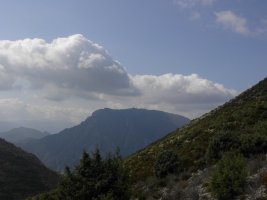
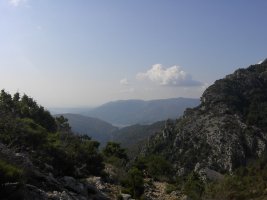
The path from here goes straight on and descends through a deciduous forest of mainly Horsechestnut. The markers are not evident here but the path is well used and wide. As you leave the trees the path levels out on the Col d'Ambellarte. Then climbs for the last ascent to la Madone d'Utelle. The Sanctuaire advertises a restaurant, shop, church and accommodation. For those who prefer not to walk you can drive there from Utelle. There is also an observation platform with plan to identify the surrounding views. From there the way back is the reverse of the way you came. It is a popular walk and it is easy to understand why with the available views – the only caution being the availability of parking or lack of it. The other cautionary tale comes from the Nice Matin last week. In last Tuesday's paper (23rd Sept) there was an article concerning a draught horse a hunter and a wild boar. At the moment there is a lot of press about the surplus of wild boar causing havoc across the area and how the trusty hunters are now doing their best to control them by shooting them. On of these trusty hunters was in the hills above Lucéram last Sunday morning and unwittingly killed a draught horse. From all accounts the hunter was sure he shot a wild pig and the bullet must of past through the pig and then hit the horse. I am not sure what is more worrying the fact the guy could not tell the difference between a draught horse or a wild boar. Or the guns are so powerful that these days that the bullet can pass through a wild pig travel a further 2 km and still kill a horse. For the outline of a pig and a chunky one at that to obscure dobbin that must be the distances we are talking about. If some one would like to make the calculation- feel free. Needless to say my back pack is day glow orange and I have tied to bell to it. Lets hope these trusty marksmen aren't deaf.
Total height ascended 838 m
Actual distance 8862.42 m
Minimum height 617 m
Maximum height 1173 m
Trail: Waypoints
103 East: 32:356964.03 North: 32:4860594.88 Height: 635 m
104 East: 32:357217.30 North: 32:4860769.20 Height: 652 m
105 East: 32:357567.57 North: 32:4862100.14 Height: 1038 m
118 East: 32:357388.09 North: 32:4862449.97 Height: 979 m
117 East: 32:357803.62 North: 32:4863412.83 Height: 1171 m
Sanct East: 32:357954.54 North: 32:4863512.87 Height: 1165 m
117 East: 32:357803.62 North: 32:4863412.83 Height: 1171 m
118 East: 32:357388.09 North: 32:4862449.97 Height: 979 m
105 East: 32:357567.57 North: 32:4862100.14 Height: 1038 m
104 East: 32:357217.30 North: 32:4860769.20 Height: 652 m
103 East: 32:356964.03 North: 32:4860594.88 Height: 635 m

